U-GEO is an algorithm based on machine learning that combines Copernicus data with urban planning, resource management, and green infrastructure. It is designed to help create efficient green infrastructure and…
Read More
U-GEO is an algorithm based on machine learning that combines Copernicus data with urban planning, resource management, and green infrastructure. It is designed to help create efficient green infrastructure and…
Read More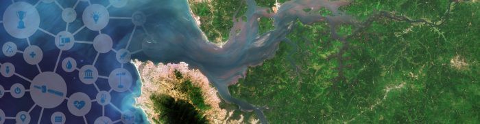
People inhale and exhale 20,000 times a day. By default, they assume that the air breathe in is clean. According to WHO, 92% of the world’s population is exposed to…
Read More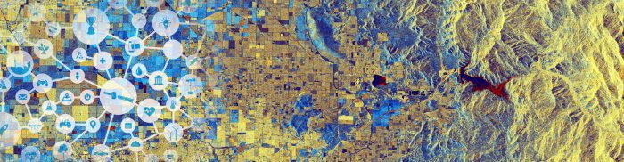
Sentinel for my mayor provides European local authorities with an accompaniment and a software tool to use Copernicus data that will assist their decision-making processes. This project aims at bridging…
Read More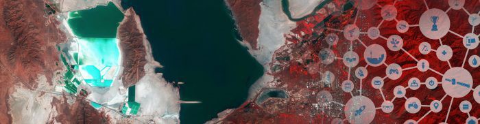
DroughtMeasure is a drought monitoring service for smart cities and regions in the European Union. There are currently 800 EU municipalities with 50,000+ inhabitants and a smart city market size…
Read More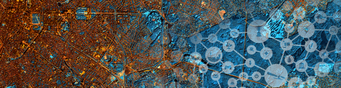
To identify and address the scale of the air pollution problem requires access to vast amounts of data. A coverage not yielded by current monitoring approaches. Hawa Dawa’s IoT air…
Read More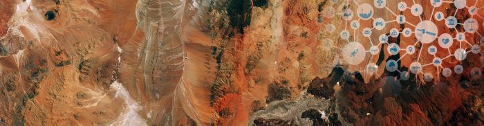
CybELE aims to use satellite data to empower experts, especially in the private sector (law firms and insurance), with the management of their legal environmental cases. The global cost of…
Read More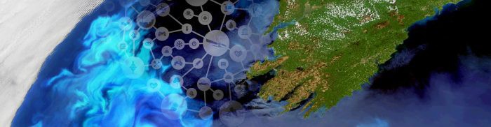
Data in Use New time series for 2014: Copernicus Sentinel-1 Interferometric Wide (IW) swath (IW). Archived time series for 1970-2013: Landsat, Envisat ASAR, and ERS SAR. Service summary The proposed…
Read More


