Raise Agriculture has developed a web application that integrates satellite data, drone imagery, and in-situ sensor data to provide interactive reports to farmers that include analysis on diseases, costs, and…
Read More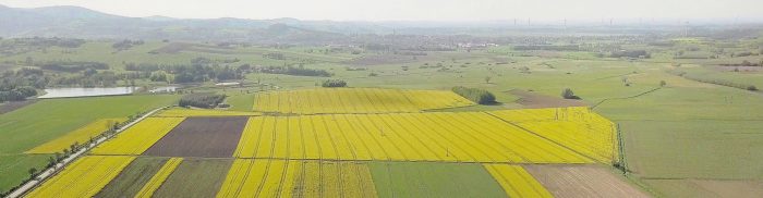
Raise Agriculture has developed a web application that integrates satellite data, drone imagery, and in-situ sensor data to provide interactive reports to farmers that include analysis on diseases, costs, and…
Read More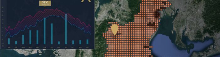
Tenchijin’s COMPASS AI technology solves issues arising from climate change, pests, and diseases in agribusiness using satellite data from the Copernicus Land and Climate Change Services (Sentinel-1, -2, and -3)….
Read MoreOne of the main obstacles in satellite imagery is the presence of clouds, which limits the capability to make observations and ultimately to take optimal decisions – especially in missions…
Read More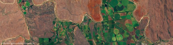
Fertilizer misuse causes significant environmental damage. At the same time, fertilizers play a significant role in feeding an ever-growing population. To achieve this with minimal harm to the environment, data…
Read More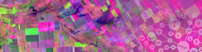
SPACE-IRR will be a smartphone, tablet, and desktop application for measuring irrigation from space. Irrigation accounts for approximately 70% of the water withdrawn worldwide, and to feed an additional 2…
Read More


