Service summary SandMap visualises Earth observation and geospatial information onto 3D sand formations that respond to shape changes imposed by users in real-time. The main functions of SandMap include real-time…
Read More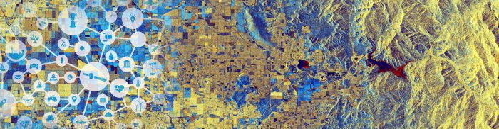
Service summary SandMap visualises Earth observation and geospatial information onto 3D sand formations that respond to shape changes imposed by users in real-time. The main functions of SandMap include real-time…
Read More


