Data in Use SAR satellites such as Cosmo-Skymed, Sentinel 1, and RadarSATs 1 & 2 can be utilised, as well as HR-optical systems in the form of GeoEye where appropriate….
Read More
Data in Use SAR satellites such as Cosmo-Skymed, Sentinel 1, and RadarSATs 1 & 2 can be utilised, as well as HR-optical systems in the form of GeoEye where appropriate….
Read More
Data in Use Satellite Interferometric Synthetic Aperture Radar (InSAR) data Service summary PUNNET is a satellite-based land stability monitoring and mapping solution for exploration, construction, and environmental protection industries. It…
Read More
Data in Use FieldSense will use high-resolution optical images from Sentinel-2A and -2B satellites. The data will be combined with crop health models to generate health maps for individual fields….
Read More
Data in Use European Space Imaging data package of Skybox Imaging satellite imagery (worth up to EUR 20,000) Service summary This research showcase will help illuminate the unique opportunities for…
Read More
Data in Use Rasdaman is being used in satellite and climate databases (hundreds of TB) to provide analyses of snow/ice cover, atmospheric and oceanography data, subsurface geophysical data, and Mars…
Read More
Data in Use Satellite data: MSS e.g SPOT-5, Seo- Sat, Sentinel-3 Quality: ≥ 15m spatial resolution, temporal frequency ≥ 3 months, cloud cover <20% MyOcean products: biogeochemistry, SST, diffuse attenuation…
Read More
Data in Use Sentinel-1 SAR, stripmap mode: 80km swath, 5x5m spatial resolution Service summary The Fallen Trees mobile app monitors windthrown forests and addresses the acute need for inventory management…
Read More
Data in Use Sentinel-3 Ocean and Land Colour Imager, Full Resolution Level 1b; Envisat Medium-Resolution Imaging Spectrometer, Full Resolution Level 1b, ancillary meteorological data Service summary CyanoLakes is a public…
Read More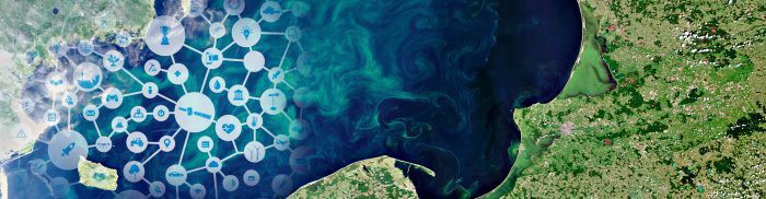
Data in Use EO data: MSG SEVIRI (EUMETSAT) on a 5′ basis, Landsat TM, MODIS, NPP, SPOT, VHR optical imagery, Sentinel-2 Non-EO data: RT Meteo data, OSM, CLC, ASTER DEM,…
Read More


