TSAR AI assists emergency authorities to detect the effects of natural disasters by automating the processing of satellite imagery with Artificial Intelligence. Emergency responders can detect even small changes to…
Read More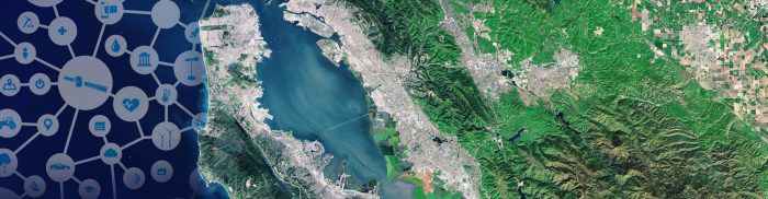
TSAR AI assists emergency authorities to detect the effects of natural disasters by automating the processing of satellite imagery with Artificial Intelligence. Emergency responders can detect even small changes to…
Read More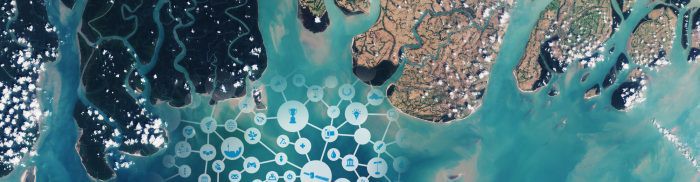
Forestmap is an e-commerce platform that allows users to make online forest inventories of a specific area. Forest monitoring is essential to ensure conservation and sustainable wood supply. Current forest…
Read More
To identify and address the scale of the air pollution problem requires access to vast amounts of data. A coverage not yielded by current monitoring approaches. Hawa Dawa’s IoT air…
Read More
Linda Forest provides a step-change in the accuracy of wood mass prediction in standing forests by applying Artificial Intelligence (AI) to satellite, geology and other data. Forestry firms currently spend…
Read More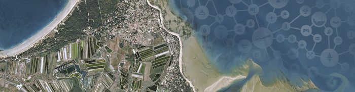
MapTiler is an alternative to Google Maps API powered by open data, providing ad-free personalised maps, protecting the privacy of users and having the ability to run offline. Street and…
Read More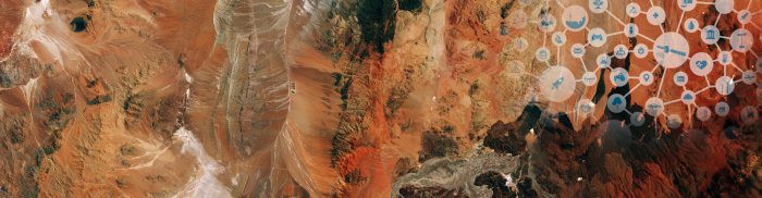
CybELE aims to use satellite data to empower experts, especially in the private sector (law firms and insurance), with the management of their legal environmental cases. The global cost of…
Read More


