Tradewind helps companies take better decisions when investing in renewable energy. The energy market is very complex and highly volatile, with electricity prices jumping from EUR -30/MW to EUR 200/MW…
Read More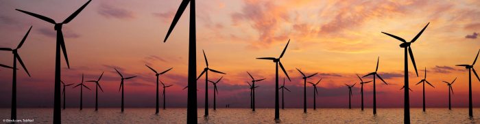
Tradewind helps companies take better decisions when investing in renewable energy. The energy market is very complex and highly volatile, with electricity prices jumping from EUR -30/MW to EUR 200/MW…
Read More
U-GEO is an algorithm based on machine learning that combines Copernicus data with urban planning, resource management, and green infrastructure. It is designed to help create efficient green infrastructure and…
Read More
The growing population of recovered COVID-19 patients will need a helping hand to restore their health and resume their daily lives and work. Unfortunately, after battling COVID-19, 30% of recovered…
Read More
Space.Science maximises the potential of Earth observation data by providing an all-in-one platform for EO data users. It facilitates easy access to EO information and enables seamless integration with users’…
Read More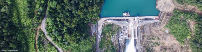
Companies that deal with water supplies or hydropower need to know how much river water inflow they can expect in the next operational period. Currently, they rely on historical data…
Read More
In recent years, viticulture has been affected by the impact of climate change. Winegrowing regions are experiencing geographical shifts in suitable varieties and production areas, mainly due to global warming….
Read More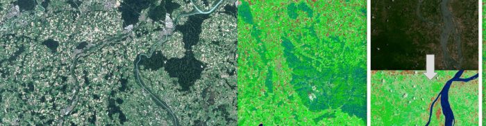
Even though recent developments have simplified access to Copernicus Earth observation data, one of the biggest challenges in EO is converting satellite data into reliable information. The new solution SIAM-as-a-Service…
Read More
Monitoring marine habitats, protecting coastlines against erosion, and making proper use of marine ecosystems near shorelines are crucial in ensuring a sustainable and efficient maritime economy in the EU. Coast…
Read More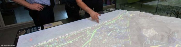
HAToM is a disruptive geospatial data visualisation platform that translates geospatial data and complex graphics into a universal “visual” language that everybody can understand, regardless of their specialisation. The core…
Read More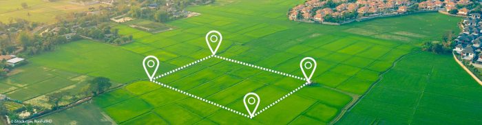
Dr. Mud is a service extension that monitors soil properties and moisture conditions with the help of satellite data. It helps agricultural practitioners increase yields, reduce input costs, make more…
Read More


