Data in Use
The algorithms track websites in real time and have extracted information on more than a million construction projects. Building Radar then verifies this information through high revisit rates of the Sentinel satellites and VHR imagery.
Service summary
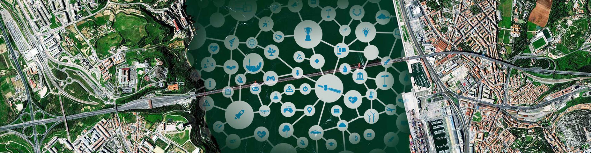
Building Radar is a satellite-supported search engine for construction projects. It combines search algorithms with machine learning, geo-informatics, and satellite image analysis to provide real-time information about buildings and construction projects all over the world. Building Radar uses computer vision on VHR satellite imagery to enrich and validate the information. Customers sell products or services linked to the construction or maintenance of buildings.
Customer Benefit
The algorithms make Building Radars data collection:
- More efficient and keep it constantly up-to-date
- Verify it with satellite image analysis
The analytics platform enables the customer to find revenue opportunities, detect industry trends, and obtain a market overview.
The Expertise
«The start-up Building Radar presents an integrated solution for VHR satellite imagery within a solid business model. It is focused on providing automated monitoring and detection services for the construction industry, whereby satellite imagery will be incorporated within the solution for the validation and monitoring of the building progress or for the detection of new construction sites. This solution may open new doors for the use of precision satellite imagery in a worldwide context.»
Adrian Zevenbergen
Managing Director
European Space Imaging GmbH
Company info
Paul Indinger
Building Radar GmbH, Germany
indinger@buildingradar.com
www.buildingradar.com


