Data in Use
ASAR, MERIS, MODIS, AVNIR2, FAPAR, AVHRR3
Service summary
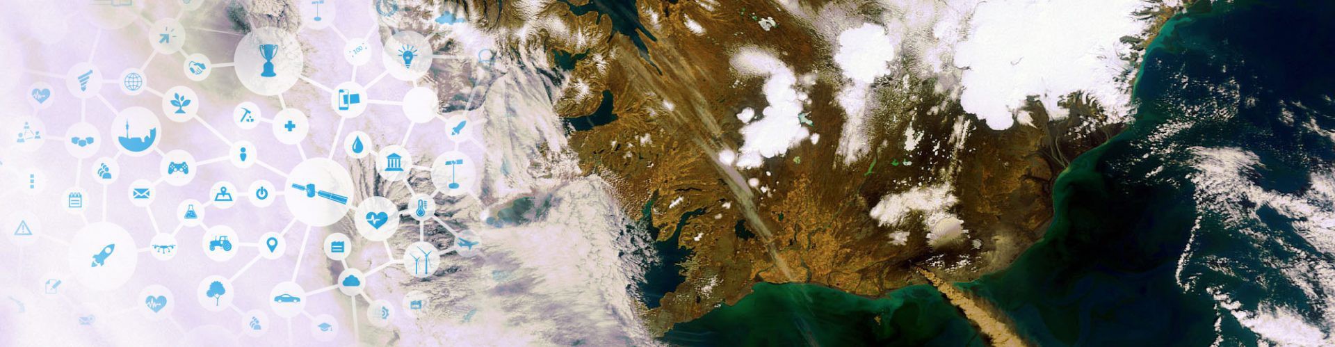
Every day, Chelys generates hundreds of real-time photorealistic images from satellite data, allowing us to monitor environmental issues such as desertification, glacial melt, and deforestation. While such images often remain unseen in datastorage, we analyse, describe and publish them daily on our EOSnap portal. As such, EOSnap raises awareness on climate change, providing images and information useful for specialists and non-specialists alike.
Benefit to EU citizens
Increased public and scientific awareness of environmental issues and provision of information useful for combating detrimental forms of climate change.
Added value through GMES
GMES will allow us to analyse climate change in new ways and greater detail: S1 for glacial melt; S2 for floods and other natural disasters in high res; S3 for ocean monitoring, fires, meteorological phenomena.
Company info
CHELYS srl
Luca Mellano
luca.mellano@chelys.it


