Service summary
Farmers want to spend time in the field, not in their office looking at 2D maps that do not provide useful information about their crops. The farmAR app adds an extra layer of 3D information to a mobile phone’s camera display. This layer depicts geoTags that contain important information and location. Upon the farmer’s request, the geoTags are automatically generated using primarily Sentinel-2 data. This allows farmers to act quickly and more precisely, making adjustments only where and when needed. As a result, the farmer is able to increase crop yield, optimise inputs and improve profitability –all while contributing to a more sustainable agriculture. farmAR sits within the global geographic information system (GIS) market that is expected to grow to USD 14.6 billion by 2020 with the market share for agriculture at 5% and growing.
Customer Benefit
The easy to use 3D visualisation allows farmers to make better decisions, increasing their yield while reducing chemical and water use. farmAR improves profitability and reduces environmental pressure. Farmers benefit from satellite images, without needing to be an expert.
The Expertise
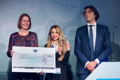
«The jury awarded the prize to the most disruptive project: farmAR. This startup is using Augmented Reality to display information for farmers, based on Copernicus data. Augmented Reality makes Earth observation data much easier to use and understand in not only an agricultural context but also potentially in other domains (energy, infrastructure monitoring…). The farmAR team consists of two extremely competent and complementary women entrepreneurs.»
Thibaud Delourme
Team Leader
European Commission
Company info
Beril Sirmacek
farmAR
beril@farm-ar.com


