Data in Use
The ImageQuerying system can process any airborne/spaceborne EO multi-spectral image with a radiometric calibration metadata file (such as Sentinel-2/-3, Landsat, MeteoSat, RapidEye, WorldView, etc).
Service summary
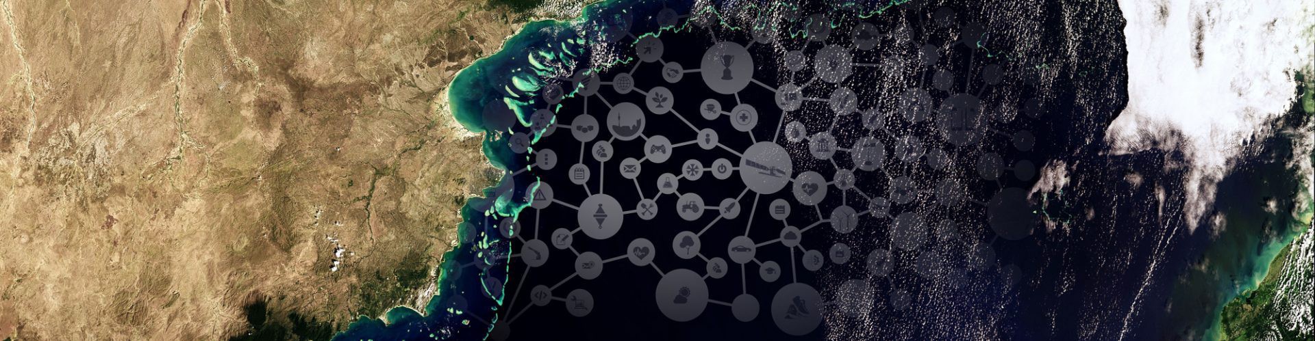
ImageQuerying (IQ) is a near-real-time image comprehension and querying system for big Earth data. Based on low-level computer vision, IQ provides each image stored in a database with at least one thematic map generated through a fully automated process. Image objects can be tracked by the IQ inference engine over time in a manner similar to symbolic human thinking. Users can also generate information layers by querying and combining the maps stored in the database.
Customer Benefit
Cross-domain academic, public, or commercial users of Earth observation imagery – as well as data providers – will benefit from ImageQuerying as a real-time visual tool for mining EO big data with autonomous image-interpretation intelligence complementary to that of the operator.
The Expertise
«ImageQuerying is an innovative application that simplifies and accelerates the analysis of big EO image data. The images and image time-series are automatically pre-classified and stored in a raster database, thus allowing users to perform geospatial semantic queries on large EO archives via an easy-to-use interface. The application quickly transforms image data into information, creating real value for the customer.»
Dr Jurry de la Mar
Account Director Global Accounts & International Business
T-Systems International GmbH
Company info
Dr Dirk Tiede, Dr Stefan Lang, Dr Mariana Belgiu, Martin Sudmanns
Department of Geoinformatics – Z_GIS, University of Salzburg, Austria
Andrea Baraldi
Department of Geoinformatics – Z_GIS, University of Salzburg,
Austria & Department of Agricultural and Food Sciences,
University of Naples Federico II, Portici (NA), Italy
dirk.tiede@sbg.ac.at
www.zgis.at


