Data in Use
ERS 1; ERS 2; ASAR; ALOS PALSAR; AVNIR-2 ; Landsat 7; Landsat 4/5; NIR Red-Edge; CIR; Aerial Photography, DTMs, UK-DMC and UK-DMC2
Service summary
Landmap provides web-based access to spatial data and e-learning materials for the academic community. McLaren and Waters (2011, p.177) describe Landmap as a ‘state of the art’ service. Landmap began in 1999 and after securing 5 years of funding by Jisc in 2007 established itself as a key academic Spatial Data Infrastructure (SDI) for geospatial data , licensing, e-learning and metadata. It provides a geoportal called ‘Kaia’ using OGC services.
Customer Benefit
Provides data to many projects such as EPSRC Urban Futures, ESRC Health Modelling, Fire Scar detection, EU funded MAREN Project plus open e-learning materials.
Added value through Copernicus
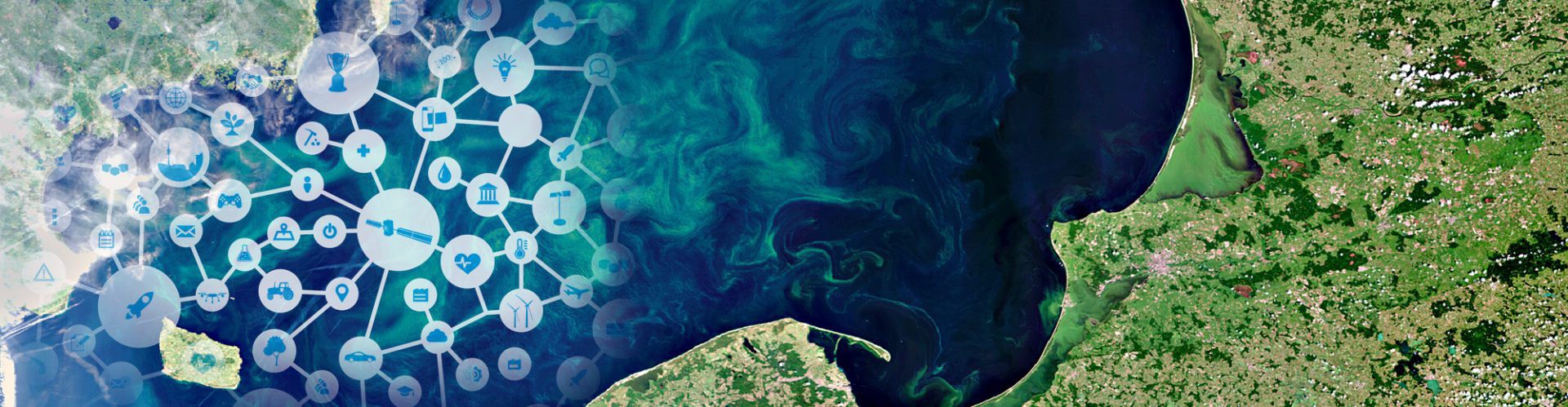
Landmap aims to provide annual complete coverage of the British Isles of both radar and optical datasets for research and teaching purposes. The Sentinel 1 & 2 satellites will ensure that this archive continues.
Contact
Mimas – Landmap Service
The University of Manchester
Gail Millin-Chalabi
Gail.Millin-Chalabi@manchester.ac.uk
www.landmap.ac.uk


