Data in Use
Satellite data: MSS e.g SPOT-5, Seo- Sat, Sentinel-3
Quality: ≥ 15m spatial resolution, temporal frequency ≥ 3 months, cloud cover <20%
MyOcean products: biogeochemistry, SST, diffuse attenuation coefficient
Service summary
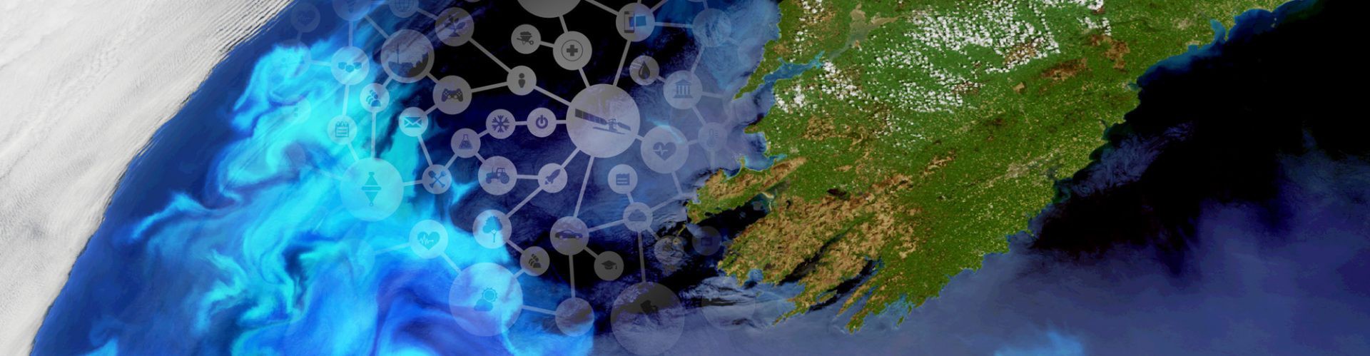
The Global Seagrass Monitoring Initiative aims to create a network of NGOs, universities, and ecotourism businesses dedicated to the monitoring and conservation of Seagrass habitats. Using remotely sensed MSS data (e.g. SPOT-5, Sentinel-3), they can rapidly and consistently map seagrass distributions whilst also retrospectively assessing degradation rates and the efficacy of restoration efforts. This is a long-overdue step towards effective seagrass conservation.
Customer Benefit
Scientific and conservation community:
- Improved, cost-effective, repeatable methodology
- Identifies key conservation units
- Proposes Marine Protected Areas, No-Trawl Zones, and restoration initiatives
Global community:
- Safeguards an ecologically and economically vital habitat
The Expertise
«The Global Seagrass Monitoring Initiative (GSMI) addresses the conservational monitoring of a plant that performs crucial functions in marine environments: seagrass. Using Earth observation data from the Copernicus Sentinels and other satellites, monitoring this specific type of ecosystem will provide decision support with regard to environmental protection and sustainable use of coastal environments.»
Gunter Schreier
German Aerospace Center (DLR)
Business Development & Copernicus, Deputy Director German Remote Sensing Data Center
Company info
Global Seagrass Monitoring Initiative
Dimosthenis Traganos, Samuel Matthews, Ryan Mckenna
dtraganos@gmail.com
sammatthews990@gmail.com
hello.mckenna@gmail.com


