Data in Use ASAR, MERIS, MODIS, AVNIR2, FAPAR, AVHRR3 Service summary Every day, Chelys generates hundreds of real-time photorealistic images from satellite data, allowing us to monitor environmental issues such…
Read More
Data in Use ASAR, MERIS, MODIS, AVNIR2, FAPAR, AVHRR3 Service summary Every day, Chelys generates hundreds of real-time photorealistic images from satellite data, allowing us to monitor environmental issues such…
Read More
Data in Use phase1 – SMOS TB and SM, MODIS NDVI and LST phase 2 – SMOS and SMAP TB and SM, S-2 LAI, S-3 NDVI and LST Service summary…
Read More
Data in Use Snow observations available from weather stations and collected from professional groups on the ground Service summary SnowMonit is designed to improve current services that treat snow avalanche…
Read More
Data in Use Formosat-2, Spot-5, and Pleiades TerraSAR-X (DLR) Service summary BALIST is a service under development funded by the Aquitaine Regional Council (APSAT / INTERREG SUDOE IVb project). It…
Read More
Data in Use Preferred 0.5m resolution or better; two layers, panchromatic or (ideally) infrared and RGB Service summary Cerberus is a crowdsourcing and e-learning platform where participants are involved in…
Read More
Data in Use Aerial multispectral imagery, HR1/HR2 and VHR1/VHR2 multispectral EO data Service summary Wide-Area Monitoring using Spaceborne and Airborne Platforms (WAMSAPs) is a novel approach to facilitating continuous, cost-effective…
Read More
Data in Use TERRA ASTER and LANDSAT TIR bands; also researching other data sources, including atmospheric and SWIR/VNIR Service summary Reducing thermal waste, particularly over large areas or in large…
Read More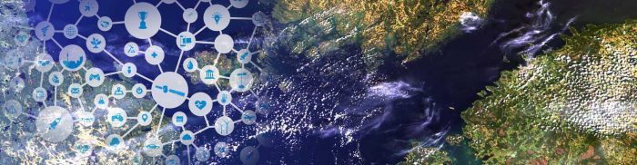
Data in Use Satellite radar images and in-situ photos Service summary Satellite radar images in urban areas require in-situ verification due to backscatter. After asking the public for help, we…
Read More
Data in Use Phase 1: ENVISAT ASAR and AATSR (2002-2012) Phase 2: SENTINEL-1 SAR and SENTINEL-3 SLSTR Service summary Monitoring gas flares and oil spills from oceanic oil platforms is…
Read More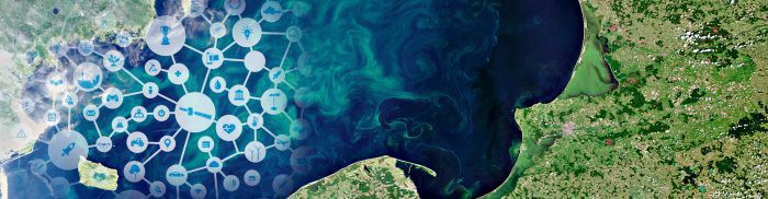
Data in Use ASAR data and in situ measurements taken by sensors for soil moisture for NDVI. MODIS and AVHRR for NDVI. Service summary The use of remote sensing provides…
Read More


