Cloud cover is the most challenging problem encountered in optical satellite imagery. It leads to difficulty in information extraction, as well as demand for larger constellations, higher revisit times, and…
Read More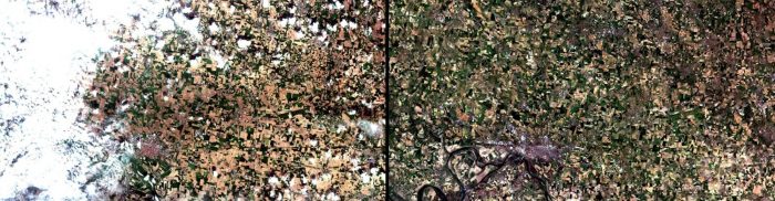
Cloud cover is the most challenging problem encountered in optical satellite imagery. It leads to difficulty in information extraction, as well as demand for larger constellations, higher revisit times, and…
Read More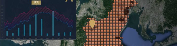
Tenchijin’s COMPASS AI technology solves issues arising from climate change, pests, and diseases in agribusiness using satellite data from the Copernicus Land and Climate Change Services (Sentinel-1, -2, and -3)….
Read More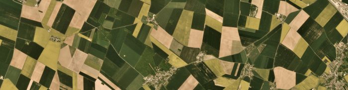
Carbon sequestration is one of the cornerstones of the fight against climate change. While the plant-soil ecosystem is already absorbing almost 33% of the CO2 in the atmosphere, there is…
Read More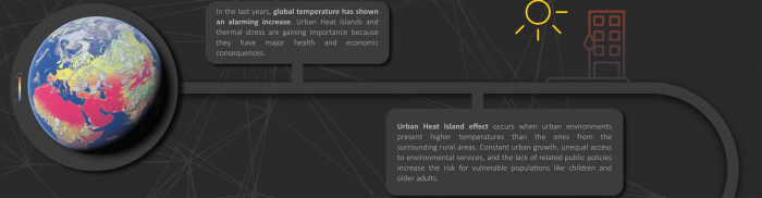
Climate change is putting more than 200 million people worldwide at risk of rising temperatures that can lead to higher rates of heat-related illness and death. This number could rise…
Read More
Railway disruptions are mostly caused by disasters and result in delays or cancellations of trains. Over time, this has a negative impact on passengers’ satisfaction and how they perceive the…
Read More
Saint James CAMINITO is a tool that was developed to study the evolution of a collection of pilgrimage routes throughout Europe that lead to the resting place of the Apostle…
Read More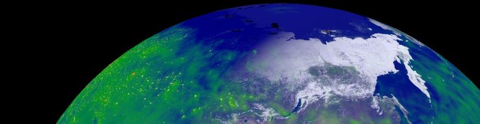
Orbiter is an Earth visualisation app for mobile devices. Designed to be accessible to everyone, the Orbiter app provides an up-to-date representation of the Earth and its processes. Using current…
Read More
Space.Science maximises the potential of Earth observation data by providing an all-in-one platform for EO data users. It facilitates easy access to EO information and enables seamless integration with users’…
Read More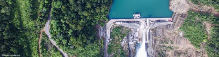
Companies that deal with water supplies or hydropower need to know how much river water inflow they can expect in the next operational period. Currently, they rely on historical data…
Read More
In recent years, viticulture has been affected by the impact of climate change. Winegrowing regions are experiencing geographical shifts in suitable varieties and production areas, mainly due to global warming….
Read More


