Data in Use
Formosat-2, Spot-5, and Pleiades TerraSAR-X (DLR)
Service summary
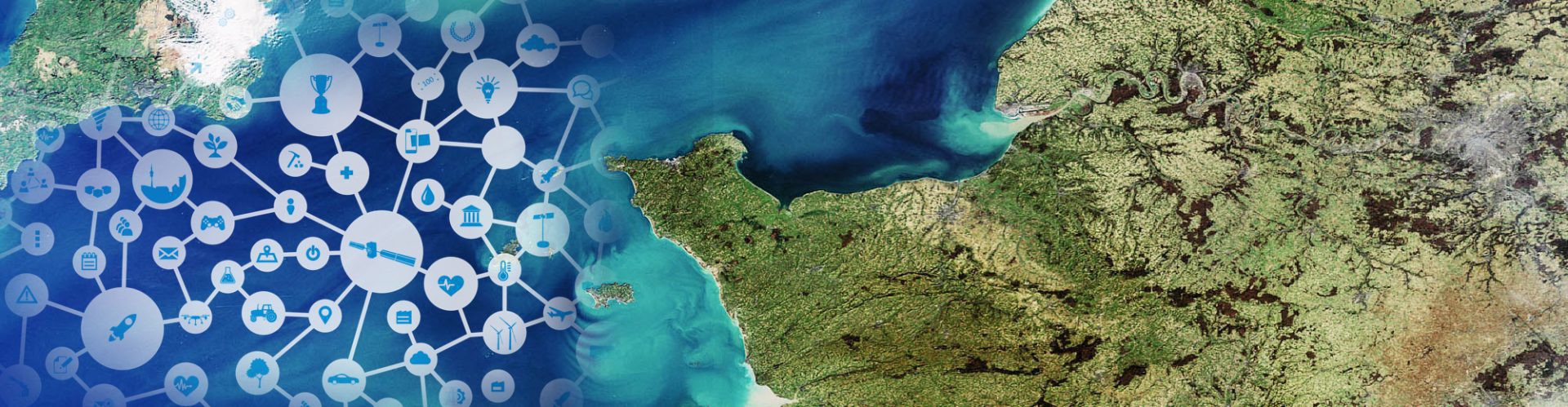
BALIST is a service under development funded by the Aquitaine Regional Council (APSAT / INTERREG SUDOE IVb project). It aims to map coastal bathymetry for depths ranging from 0 to 20m using high resolutions of both optical and radar space data.
Customer Benefit
BALIST will provide fast and easy access to bathymetry maps and depth change analysis worldwide and at a cost lower than competing techniques.
The Expertise
«With its innovative and commercially interesting technical approach, BALIST is fully in line with the notion of the GMES objectives of improving environmental coastal zone management and security for European citizens.»
Prof Dr Steffen Kuntz
Senior Consultant
ASTRIUM GEO-Information Services
Company info
GEO-Transfert, France
Dr Virginie Lafon
v.lafon@epoc.u-bordeaux1.fr
http://www.geotransfert.epoc.u-bordeaux1.fr/


