

MapTiler is an alternative to Google Maps API powered by open data, providing ad-free personalised maps, protecting the privacy of users and having the ability to run offline. Street and satellite maps with worldwide coverage are used by businesses which customise and integrate them with websites and mobile apps. MapTiler software allows easy processing of imagery or geodata of any size, and to serve them from the MapTiler Cloud as well as on-premise servers.
Terabytes of satellite data from Copernicus Sentinel-2 and Airbus are combined with open data aerial imagery from local governments to create a seamless color-balanced satellite map with labels.
Customer benefits
MapTiler maps provide easy to use customisation tools with the ability to change colors, fonts and pick one of 55 languages in just a few clicks. MapTiler doesn’t collect any sensitive data about visitors of its maps while still keeping the prices low compared to competitors.
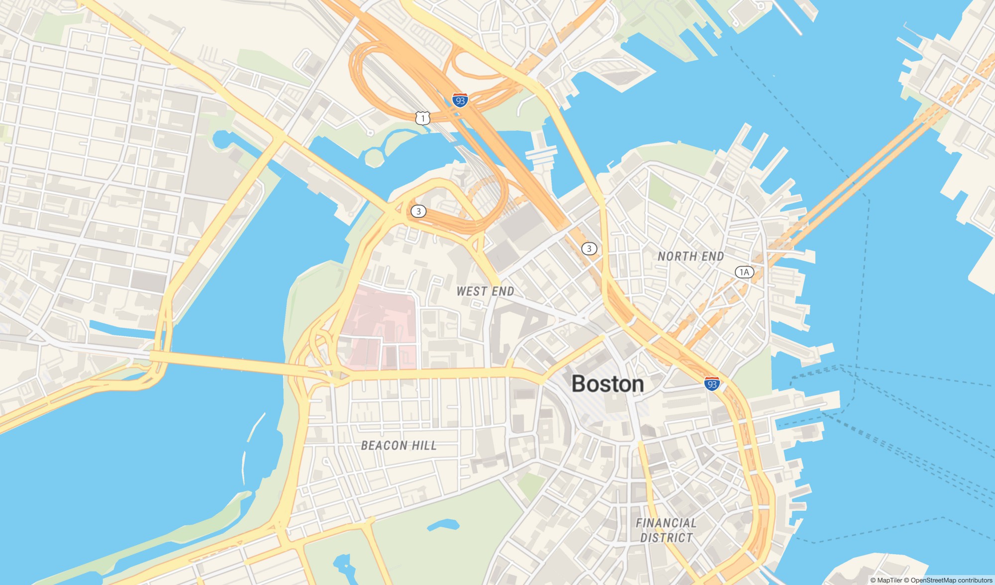
© MapTiler, OpenStreetMap contributors
Expertise
“MapTiler, with its highly customised world maps dedicated for companies and institutions, leverages both Copernicus and commercial satellites like ours and UAVs data into an USB stick size global map. At Airbus, we look to democratise geo-information data and enable new value-added services from satellite imagery, and we believe that this affordable solution fully aligns with our objectives.” – Martin Pentier, Digital Business Innovation Manager, Airbus Intelligence
Petr Pridal, Petr Sloup, Vaclav Klusak, Martin Mikita, Dalibor Janak, Martin Elias, Jiri Komarek


