Navigation in the Arctic is difficult and dangerous. With little to no infrastructure available for transportation, Arctic communities rely almost entirely on navigation across seasonally frozen waters. The number of…
Read More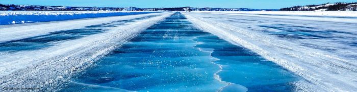
Navigation in the Arctic is difficult and dangerous. With little to no infrastructure available for transportation, Arctic communities rely almost entirely on navigation across seasonally frozen waters. The number of…
Read More
People inhale and exhale 20,000 times a day. By default, they assume that the air breathe in is clean. According to WHO, 92% of the world’s population is exposed to…
Read More
Sentinel for my mayor provides European local authorities with an accompaniment and a software tool to use Copernicus data that will assist their decision-making processes. This project aims at bridging…
Read More
The human cost of atmospheric pollution from shipping is estimated at 400,000 premature deaths each year and the cause of asthma in 14 million children. There are currently no methods…
Read More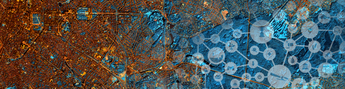
To identify and address the scale of the air pollution problem requires access to vast amounts of data. A coverage not yielded by current monitoring approaches. Hawa Dawa’s IoT air…
Read More
MapTiler is an alternative to Google Maps API powered by open data, providing ad-free personalised maps, protecting the privacy of users and having the ability to run offline. Street and…
Read More
Data in Use Radar images from TerraSAR-X or Sentinel-1, as well as precise weather data to compute the tropospheric delay that appeared during the SAR image data extraction; sensor data…
Read More


