Data in Use Aerial multispectral imagery, HR1/HR2 and VHR1/VHR2 multispectral EO data Service summary Wide-Area Monitoring using Spaceborne and Airborne Platforms (WAMSAPs) is a novel approach to facilitating continuous, cost-effective…
Read More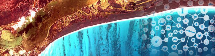
Data in Use Aerial multispectral imagery, HR1/HR2 and VHR1/VHR2 multispectral EO data Service summary Wide-Area Monitoring using Spaceborne and Airborne Platforms (WAMSAPs) is a novel approach to facilitating continuous, cost-effective…
Read MoreAqua Alta Winner Alexander Popp Message This illustration shows a satellite image of Venice in the form of a human footprint. Recent projections assessed by the US National Research Council…
Read More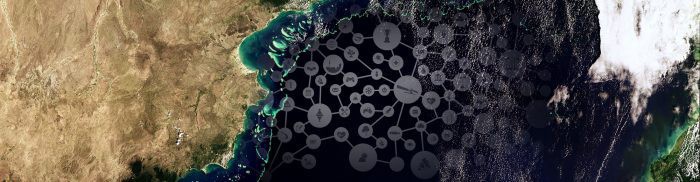
Data in Use The ImageQuerying system can process any airborne/spaceborne EO multi-spectral image with a radiometric calibration metadata file (such as Sentinel-2/-3, Landsat, MeteoSat, RapidEye, WorldView, etc). Service summary ImageQuerying…
Read More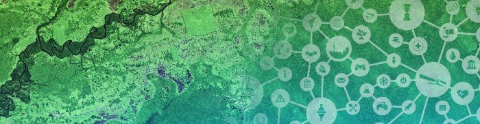
Service summary In 2014, the global seaweed harvest’s value was estimated to be EUR six billion. SCAMPER is a decision support software tool that will aid seaweed industry stakeholders in…
Read More
Service summary Sentinel Hub provides unprecedented access to Earth observation data with a focus on Sentinel satellites and additional support for sources such as Landsat and Planet. By facilitating advanced…
Read More
Service summary SnapPlanet is a social network with the aim to harness the use of Earth observation data to address individual, societal, environmental and economic needs through user- and community-oriented…
Read More


