Despite the increasing ubiquity of data globally, small-scale farmers and other localscale agricultural stakeholders lack the access and competence necessary to use data for agriculture management. Since agricultural pests cause…
Read More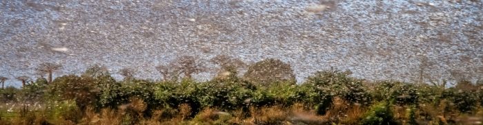
Despite the increasing ubiquity of data globally, small-scale farmers and other localscale agricultural stakeholders lack the access and competence necessary to use data for agriculture management. Since agricultural pests cause…
Read More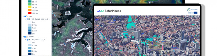
SaferPlaces provides actionable insights to predict flood risks in any city worldwide. Due to increasing anthropogenic pressure from factors like soil sealing and the more frequent occurrence of extreme weather…
Read More
While the increasing occurrence of wildfires worldwide is becoming an important subject in the climate change mitigation conversation, in the majority of developed countries, everyday fire management still relies mostly…
Read More
RastLess – Serverless Visualisation and Analysis of Geospatial Data RastLess is a serverless application that enables visualisation and analysis of spatio-temporal raster data in a cost-efficient, scalable and sustainable way….
Read More
EnergyFamily.at is a web platform that aids the foundation and management of energy communities. It uses satellite-based predictive technology to forecast photovoltaic energy production based on the Copernicus Atmosphere Monitoring…
Read MoreWildlife Tracker is a user-interactive web application dedicated to marine life conservation. Users can connect marine wildlife tracking studies and display them in a realtime map animation. The online application…
Read More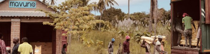
Mavuno is a platform that empowers African smallholder farmers with the help of satellite imagery. It integrates Copernicus data with machine learning algorithms to provide agricultural insights that can effectively…
Read More
Packedge is an onboard data compression tool that aims to compress true image data. The current architectures for satellite communication are not scalable enough to accommodate nano-satellites and the high…
Read More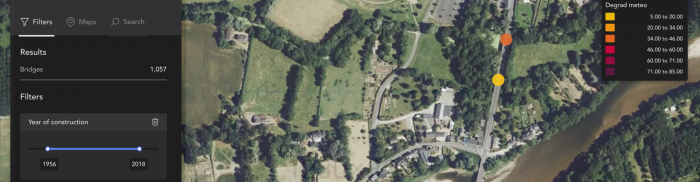
eOnsight uses satellite data to monitor infrastructures and determine their health, predict evolutions, generate maintenance alerts, and prioritise the planning of onsite visits. This helps to optimise the maintenance of…
Read More
This solution gives farmers real-time information on each animal on their platform and enables them to select the best areas for their cattle. The collar can monitor cattle health and…
Read More


